
The Quiet Convergence of Google Maps and Waze: What It Means for Professional Drivers
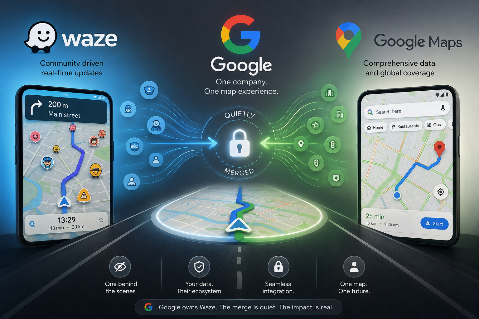
The quiet convergence of Google Maps and Waze means that while both apps continue to offer different driving experiences, they are increasingly operating as parts of the same Google mapping ecosystem. For professional drivers, chauffeur businesses and fleet operators, this isn’t simply about choosing a navigation app. It’s about understanding how location data, traffic intelligence, customer interactions and navigation technology are evolving, and what that means for operational efficiency, privacy, customer trust and the next generation of dispatch platforms.
Navigation has never just been about getting from A to B.
Today, navigation has become one of the world’s largest real time data collection networks. Every journey contributes information that improves routing, predicts congestion, identifies hazards and shapes the way millions of people travel every day.
For those of us working in premium ground transport, understanding this evolution is becoming just as important as understanding the roads themselves.
Why Did Google Buy Waze?
When Google announced its acquisition of Waze in June 2013 for approximately US$1.1 billion, many people assumed it was simply eliminating a competitor.
That certainly formed part of the strategy.
However, the true value of Waze wasn’t its maps.
It was its community.
Unlike traditional navigation systems, Waze allowed drivers to become live contributors by reporting:
- Accidents
- Congestion
- Roadworks
- Police presence
- Hazards
- Weather impacts
- Road closures
Every driver became a mobile traffic sensor.
Instead of relying solely on historical traffic patterns, Waze generated live intelligence from millions of active users.
Google recognised something significant.
Maps could show where roads existed.
Communities could show what was happening on those roads right now.
That distinction remains one of Waze’s greatest strengths today.
Google Maps vs Waze: A Timeline
2008
Google Maps rapidly becomes one of the world’s leading digital mapping services.
Its strength lies in:
- Street mapping
- Satellite imagery
- Business listings
- Route planning
- Public transport integration
2009
Waze launches publicly with an entirely different philosophy.
Instead of asking “Where are the roads?”
Waze asks:
“What is happening on the roads right now?”
2013
Google acquires Waze for approximately US$1.1 billion.
Google publicly states the Waze team will continue developing the product independently while both platforms learn from one another.
2015 to 2020
Features begin appearing across both products.
Google Maps introduces:
- Live traffic updates
- Faster rerouting
- Incident reporting
- Crowdsourced hazard reports
Meanwhile Waze gains access to Google’s:
- Mapping quality
- Search capabilities
- Infrastructure
- Mapping datasets
2022 onwards
Google begins combining engineering resources responsible for Maps and Waze.
The products remain separate but increasingly share technology behind the scenes.
Today
Recent updates to Waze’s Terms of Service and Privacy Policy further demonstrate how information contributes to Google’s wider mapping ecosystem.
The apps still look different.
Increasingly, they learn from the same intelligence.
What Still Makes Waze Different?
For professional drivers, the answer is simple.
Community.
Every active Waze user can immediately report:
- Crashes
- Hazards
- Broken down vehicles
- Flooding
- Police activity
- Speed cameras
- Temporary road closures
- Traffic delays
Thousands of reports every minute create a remarkably accurate picture of road conditions.
This crowdsourced model often allows Waze to detect changing conditions faster than traditional traffic monitoring systems.
Professional chauffeurs frequently value this responsiveness, particularly when airport transfers, executive movements and time critical bookings depend on avoiding unexpected delays.
What Google Maps Still Does Better
Google Maps remains the broader mobility platform.
Its strengths include:
- Business discovery
- Reviews
- Public transport
- Walking routes
- Cycling routes
- Indoor maps
- Local search
- Place recommendations
For many businesses, Google Maps also forms part of their customer journey through Google Business Profiles, website integrations and customer reviews.
For most consumers, Google Maps answers two questions simultaneously:
“How do I get there?”
and
“Is it worth going?”
The Quiet Convergence
Behind the user interface, something more interesting is happening.
The distinction between Google Maps and Waze is becoming less about competition and more about complementary data sources.
Recent policy updates reinforce that data generated through Waze may contribute towards improving Google’s wider mapping products.
Similarly, Google Maps continues improving through vast amounts of location information, routing behaviour and traffic analysis generated across Google’s ecosystem.
The navigation experience remains different.
The intelligence behind it is becoming increasingly shared.
What Information Is Being Shared?
Modern navigation platforms collect considerably more than directions.
Depending on permissions and settings, information may include:
- GPS location
- Journey history
- Travel speed
- Route choices
- Device information
- Search history
- Map interactions
- Traffic reports
- Hazard reports
- Destination searches
- Approximate arrival predictions
Most of this information is processed to improve:
- Route optimisation
- Traffic prediction
- Estimated arrival times
- Road incident detection
- Navigation accuracy
This practice is not unique to Google.
It has become standard across modern digital platforms.
Should Everyday Drivers Be Concerned?
Probably not.
Most users willingly exchange certain information for better services.
Navigation has become dramatically more accurate because millions of people anonymously contribute traffic intelligence every day.
The real issue isn’t whether information is collected.
The better question is whether users understand:
- What is collected
- Why it is collected
- Who processes it
- Which settings they can control
Digital literacy has become just as valuable as digital convenience.
What Happens When You Send a Google Maps Link?
Many chauffeur businesses send customers a live Google Maps location link by SMS.
This improves customer confidence by allowing passengers to locate their driver quickly and easily.
When a customer opens that link, Google may process information such as:
- Approximate location
- IP address
- Browser information
- Device type
- Map interactions
- Whether the user is signed into a Google Account
This enables Google Maps to display the correct map, optimise routing and improve service performance.
For most users, this represents a reasonable exchange for a highly useful service.
However, businesses should understand how these technologies operate and remain transparent when appropriate.
Trust begins with understanding.
Why Fleet Operators Should Pay Attention
Fleet businesses increasingly depend upon multiple connected platforms.
Navigation.
Dispatch.
Booking systems.
Customer notifications.
Vehicle tracking.
Flight monitoring.
Driver applications.
Payment gateways.
Each platform shares information differently.
Each integration creates additional considerations around security, reliability and governance.
Choosing software is no longer simply choosing features.
It is choosing technology partners.
Why This Matters for Premium Chauffeur Services
Luxury ground transport is built upon trust.
Clients expect:
- Discretion
- Professionalism
- Reliability
- Security
- Transparency
Technology now forms part of that promise.
Customers increasingly expect:
- Live vehicle tracking
- Accurate ETAs
- Flight monitoring
- SMS notifications
- Digital receipts
- Secure booking systems
Every technology decision contributes towards the customer experience.
The best operators understand that technology should remain almost invisible.
It simply works.
Why Dispatch Platforms Must Evolve
Navigation applications solve one problem exceptionally well.
Getting from one location to another.
Professional transport businesses require much more.
Modern dispatch platforms must coordinate:
- Job allocation
- Driver availability
- Flight monitoring
- Customer communications
- Compliance
- Vehicle management
- Pricing
- Reporting
- Real time operational awareness
Navigation becomes only one component within a much larger operational ecosystem.
How Ridyne Fits Into the Future
The future of premium ground transport will not be defined by navigation alone.
It will be defined by intelligent integration.
That philosophy sits at the heart of Ridyne.
Rather than replacing mapping providers such as Google Maps or Waze, Ridyne is being developed to sit above them as an operational platform that brings together bookings, dispatch, drivers, riders and operators into one connected ecosystem.
Navigation remains essential.
But navigation alone does not operate a premium chauffeur business.
Operators increasingly require software that understands the complete customer journey, from the initial booking through to dispatch, live journey management, customer communication and post trip reporting.
As mapping technology continues evolving, dispatch platforms must evolve with it.
The winners will not necessarily be those with the best maps.
They will be those that best connect people, vehicles, information and trust.
Final Thoughts
Google’s acquisition of Waze more than a decade ago was never simply about adding another navigation app to its portfolio.
It was about combining the intelligence of millions of drivers with one of the world’s largest mapping platforms.
Today, that vision is becoming increasingly visible.
For everyday users, very little changes.
For professional drivers, fleet operators and premium chauffeur businesses, however, understanding this quiet convergence is becoming increasingly important.
Technology should never replace professionalism.
It should enhance it.
The organisations that thrive over the next decade will be those that understand not only where their vehicles are travelling, but also how the technology behind every journey is shaping the future of transport itself.